


The Jefferson Highway has gone by many names since the path was first etched in the eastern Oklahoma soil by buffalo hooves. This historic north/south route runs all the way from Winnipeg, Canada to New Orleans, Louisiana, with a significant portion running through Oklahoma, from Miami to Durant. Jefferson Highway was borne of the early 20th century’s “Good Roads” movement, which connected local roads into a paved highway suitable for automobile drivers.
Take a fun and fascinating drive down this unique thoroughfare in eastern Oklahoma, a region famous for its rich history and breathtaking scenery.
The Osage TraceThe Osage Trace was an early network of hunting paths developed by Native American tribes in northeastern Oklahoma as they followed migrating bison. Over time, these First Nations established villages and trading posts. French and American fur traders also used the same trails for commerce. Over time, skirmishes between Native Americans and white settlers along the trail led to the establishment of military posts such as Fort Gibson.
Texas RoadFrom northeastern Oklahoma, settlers began to travel south along the Osage Trace on their way to Texas. As a result, people began referring to the Osage Trace as the “Texas Road.” During this period, Native Americans also established towns along the path further south. The Texas Road passed through or near the present Oklahoma towns of Vinita, Pryor, Wagoner, Fort Gibson, Checotah, Eufaula, McAlester and Durant. More forts were built along the road at this time, such as Fort Holmes and Fort Coffee.
Military RoadDue to the increasing number of forts, the Texas Road took on a new name, “Military Road” or “Leavenworth-Gibson Road” due to the establishment of Fort Leavenworth and Fort Gibson. The road was also used heavily during the Civil War as a Federal supply route on the way to Fort Gibson. The area through which the Jefferson Highway would later run was the site of the Battle of Honey Springs, a pivotal moment in the battle for control of Indian Territory between Confederate and Union forces.
Texas Cattle Trail / Shawnee TrailPost-Civil War, the roadway was regularly used for cattle drives, giving it the new name of Texas Cattle Trail. The Texas Cattle Trail passed through an area known as the Shawnee Hills and through a Shawnee village, which may have led to the alternate name “Shawnee Trail.” Katy Railroad along the Texas Road Oklahoma’s railroad system also extended along the burgeoning route. The Missouri, Kansas and Texas Railway Company (MK&T) became known as the “Katy.” As the Katy Railroad entered Indian Territory, portions were built along the original Texas Road. The Town of Muskogee was built along the Texas Road, designated as Cherokee Street within city limits.
Jefferson HighwayAs the Ford Model T became more affordable to the average American, travel became more appealing. The “Good Roads Movement” across the country led to the connection and paving of local roads between the late 19th and early 20th century. Edwin Meredith, Publisher and Secretary of Agriculture under President Woodrow Wilson, proposed the idea of the Jefferson Highway.
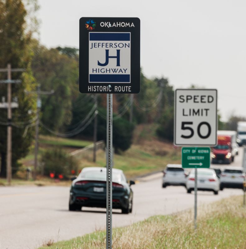
Named after President Thomas Jefferson, the proposed route would connect New Orleans and Winnipeg, similar to the Lincoln Highway which connected New York and San Francisco. The Jefferson Highway Association was established in 1915 and Oklahoma delegates promoted the idea of the road following the Texas Road and passing through Muskogee. The Jefferson Highway ran through multiple Oklahoma municipalities, including Miami, Vinita, Pryor, Wagoner, Muskogee, Checotah, Eufaula, McAlester, Atoka and Durant.
US Highway 69In the mid-1920s through the 1930s, the Jefferson Highway wore a few new names as state and federal highway numbering systems were implemented before it became more widely known as US-69. Over the years, US-69’s zig-zag shape was corrected to follow a straighter, smoother path.
The Grandaddy RoadWhile the road has carried many names, author Jonita Mullins offers one more. In her book, “The Jefferson Highway in Oklahoma,” Mullins notes that while John Steinback referred to Route 66 as the Mother Road, “But for a road that stretches back over two centuries as the Jefferson does in Oklahoma,” she writes, “it surely must be called ‘the Granddaddy Road.’”
References
“The Jefferson Highway in Oklahoma” - Jonita Mullins
Oklahoma Historical Society
Jefferson Highway Association
Jefferson Highway Association Oklahoma Chapter
